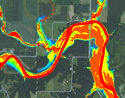
In the summer of 2013, Iowa Natural Heritage Foundation (INHF) launched the Floodplain Outreach Program. This program develops flood plain maps that show areas that are prone to flooding and scour erosion. With these maps, farmers and ag retailers can identify those flood plain acres that are expected to flood one half, one fifth, and one tenth of the years farmed. According to the Iowa DNR, flood plain mapping is the creation of new, comprehensive, accurate flood plain maps for Iowa cities and counties. The program has the potential to let …
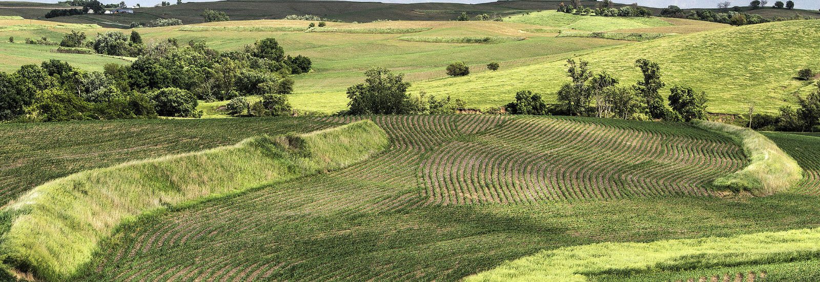
Soil and Water Conservation